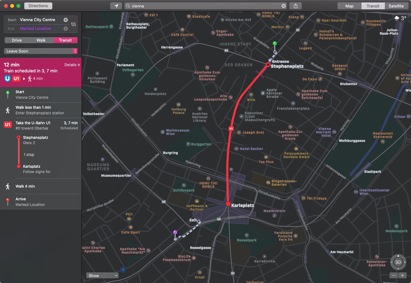
Apple Maps users in the country can now select transit routes when getting directions between two locations, with U-Bahn and S-Bahn train routes included in the coverage.
iPhone-ticker.de notes that map options for other Austrian cities have also been expanded, although some regions still lack full coverage. Maps has integrated regional trains into its transit directions for Innsbruck, for example, but other modes of public transport in the area are still missing.
Transit directions were first added to Apple Maps in 2015 with the launch of iOS 9. Maps initially only offered transit information in a handful of cities, but over the course of the last five years, Apple has worked to expand the feature to additional areas.
Transit information is now live in dozens of cities and countries around the world, with a full list available on Apple’s iOS and iPadOS Feature Availability website, although it has not yet been updated to include Austria.
(Thanks, Florian!)
This article, “Apple Maps Transit Directions Go Live in Vienna, Austria” first appeared on MacRumors.com
Discuss this article in our forums
Aucune réponse